The Best Shore Photo Spots around Bournemouth in United Kingdom
Explore Shore pictures of Bournemouth with the travel spots on a map
11 Shore Spots of Bournemouth on a Map
Pictures of Shore on the interacive map of Bournemouth
Shore Spots and Pictures around Bournemouth
Discover popular destinations in Bournemouth with their travel guides
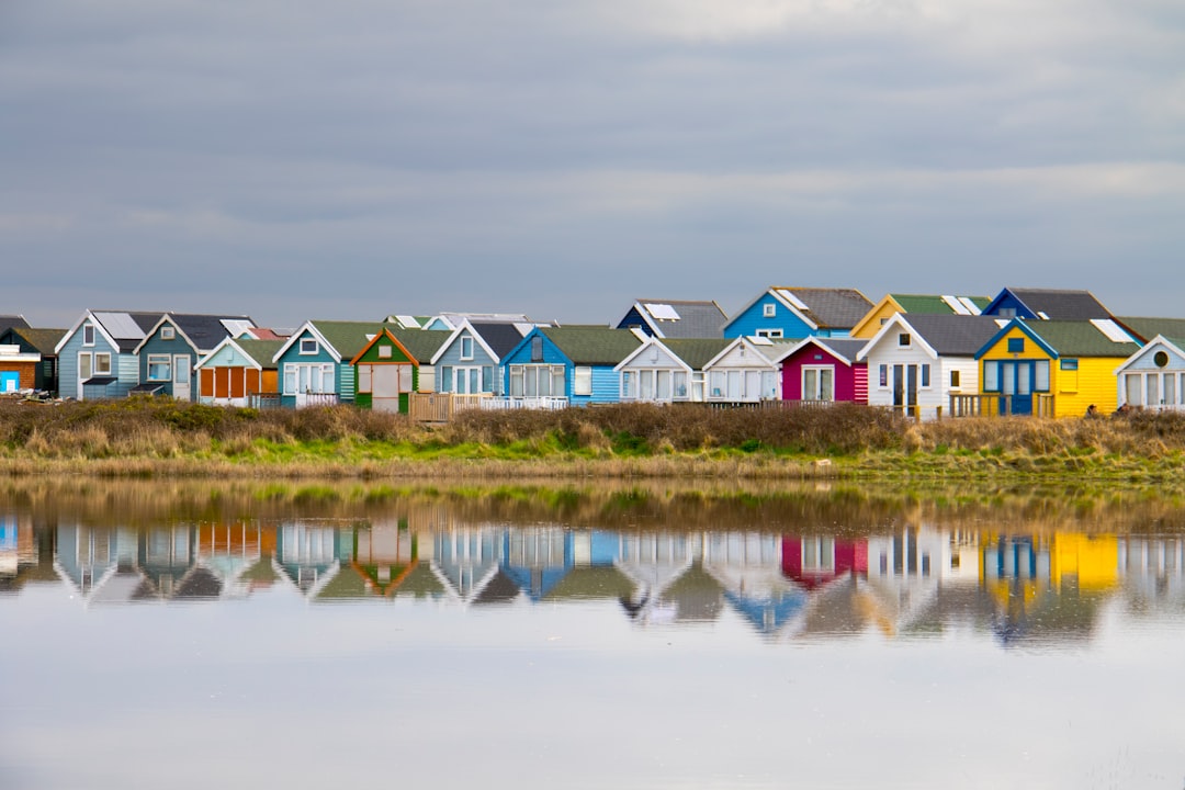
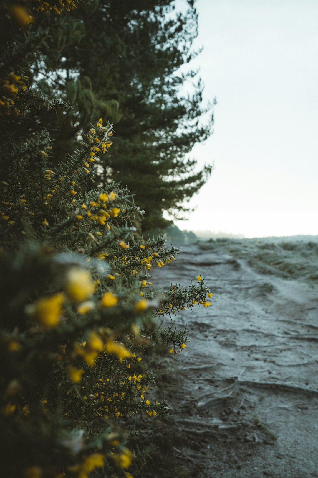
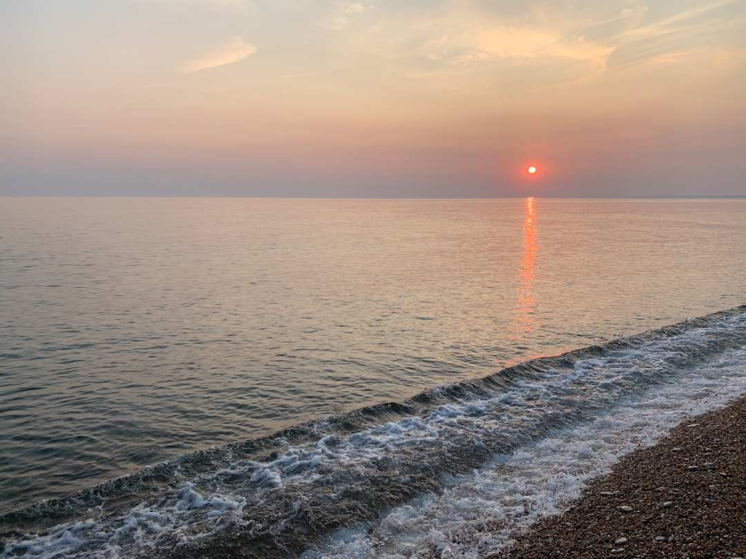
Hengistbury Head
Read the Travel guide View on Google Maps
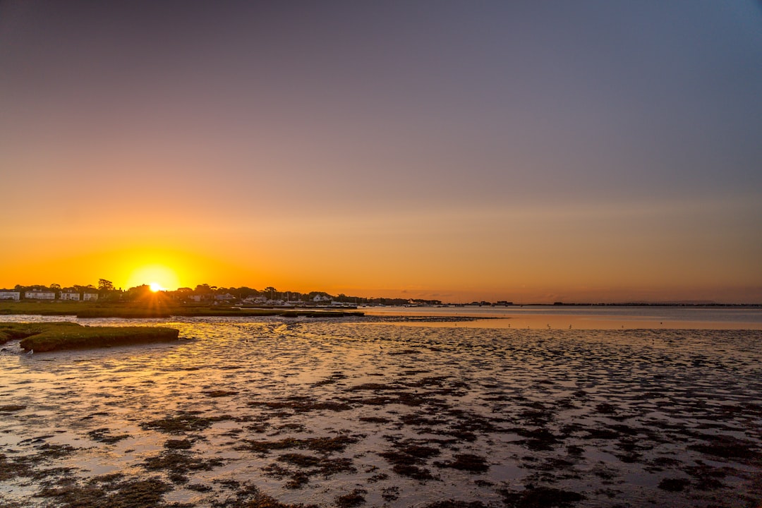
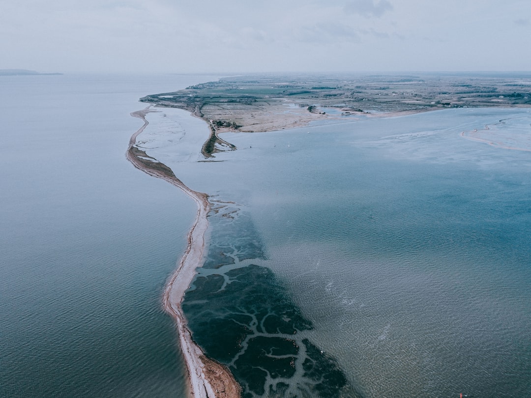
Stanpit Marsh
2 km away from Bournemouth
Read the Travel guide View on Google Maps
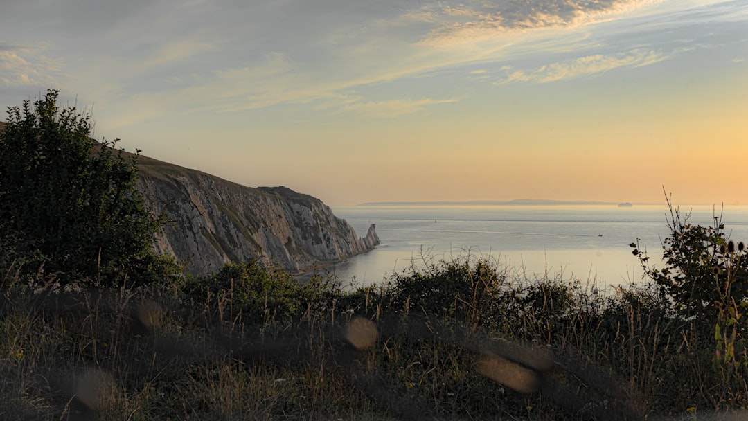
The Needles
13 km away from Bournemouth
Read the Travel guide View on Google Maps
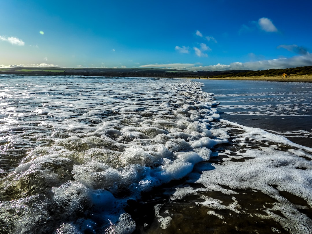
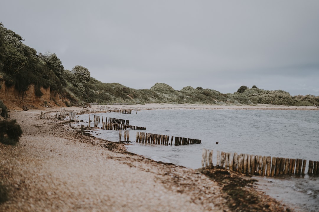
Studland Beach
15 km away from Bournemouth
Read the Travel guide View on Google Maps
New Forest National Park
19 km away from Bournemouth
Read the Travel guide View on Google Maps
Lepe Beach
26 km away from Bournemouth
Read the Travel guide View on Google Maps
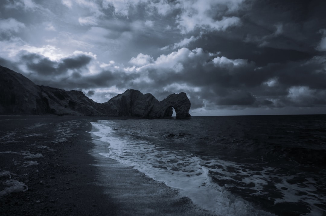
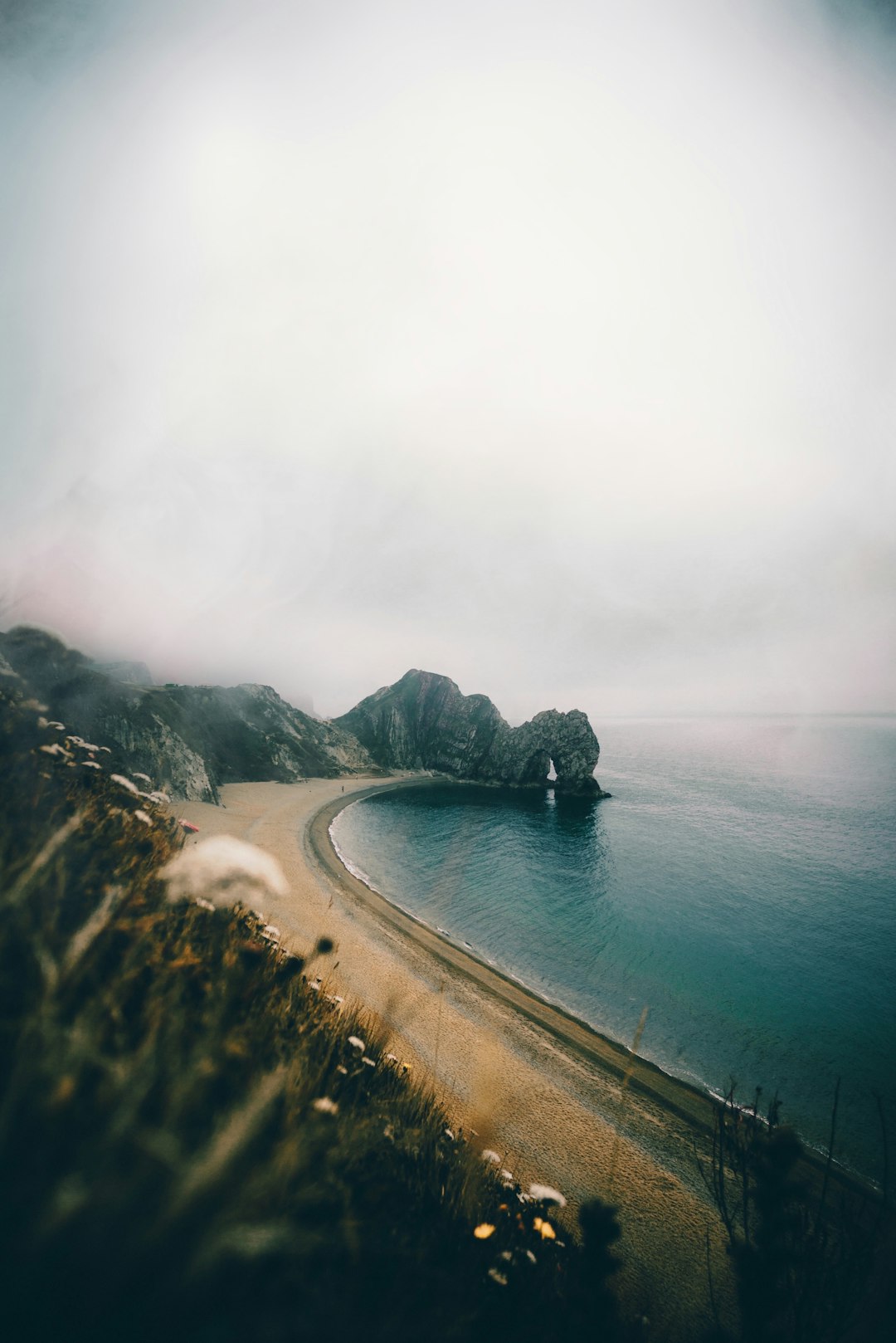
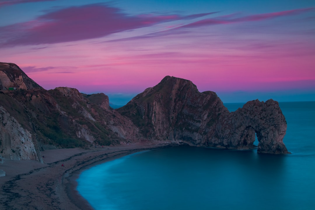
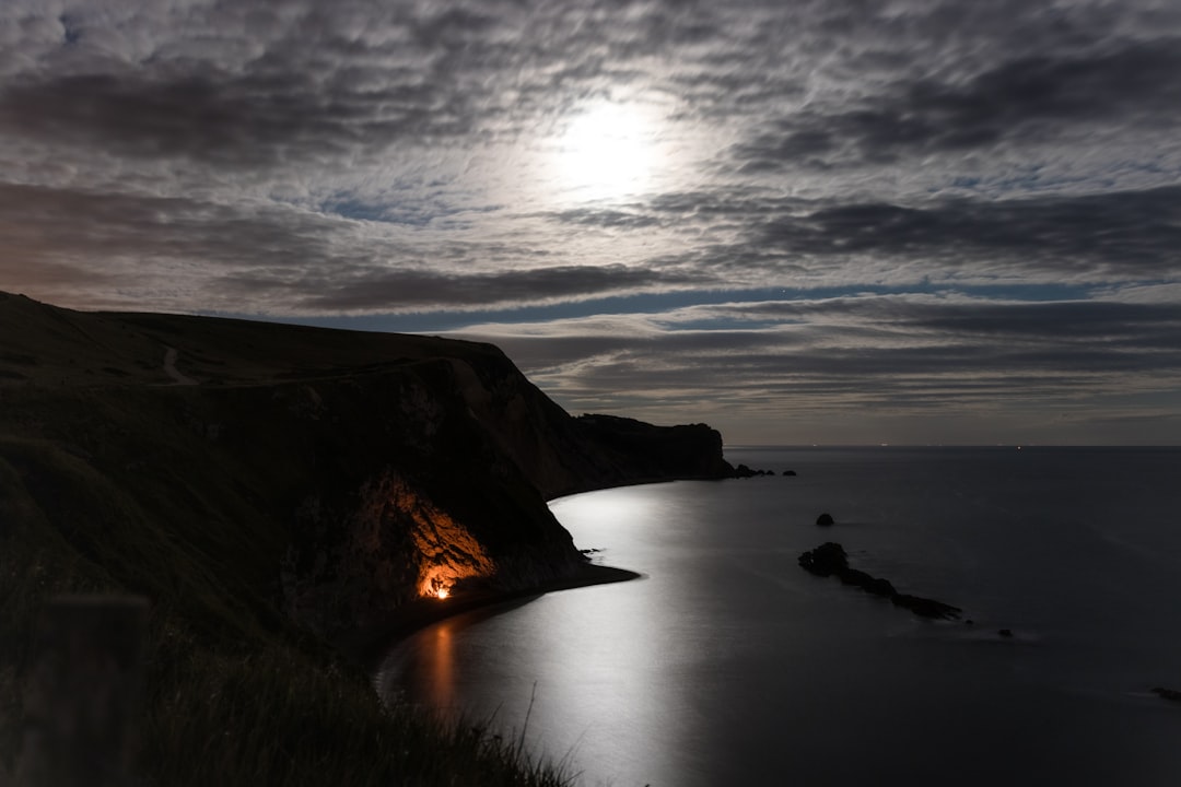
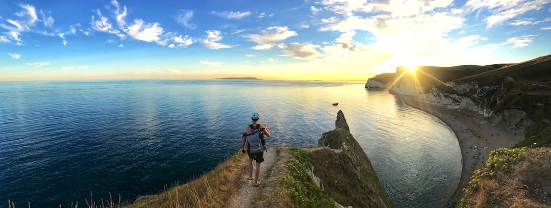
Durdle Door
39 km away from Bournemouth
Read the Travel guide View on Google Maps
Man O'War Beach
39 km away from Bournemouth
Read the Travel guide View on Google Maps
S W Coast Path
39 km away from Bournemouth
Read the Travel guide View on Google Maps
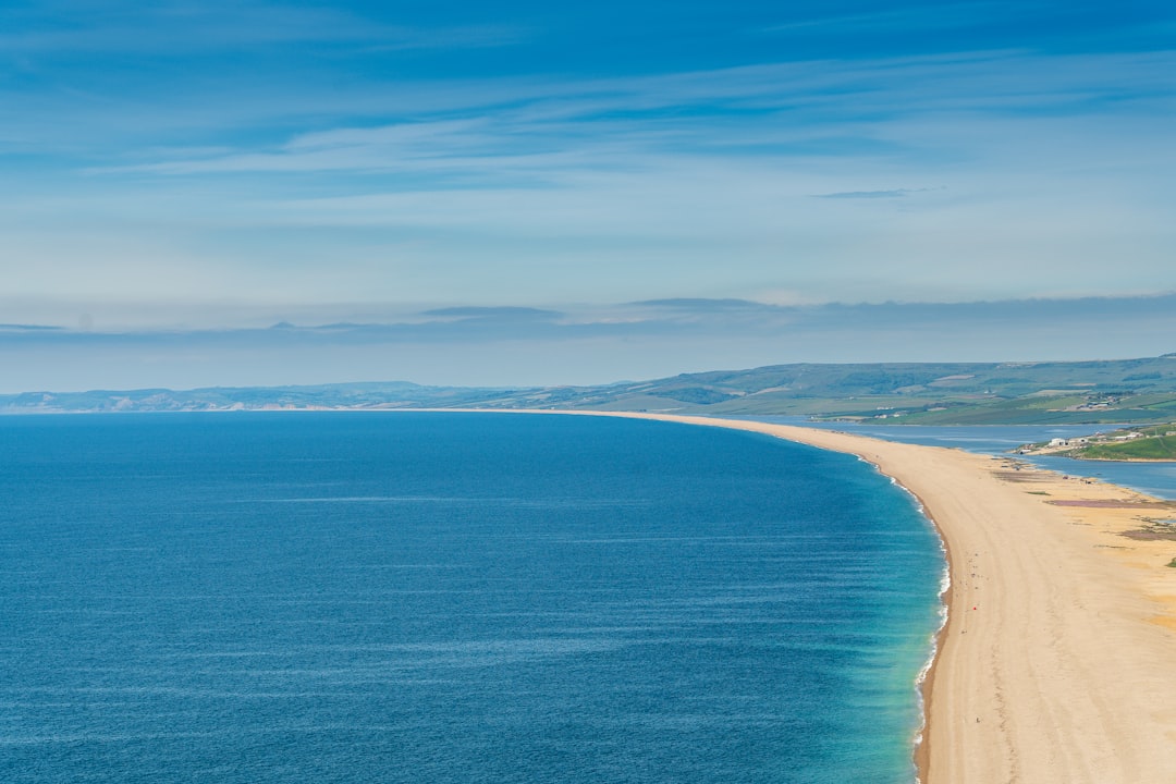
Chesil Beach
56 km away from Bournemouth
Read the Travel guide View on Google Maps
Ferring
91 km away from Bournemouth
Read the Travel guide View on Google Maps
Book your Travel Experience in Bournemouth
Discover the best tours and activities in Bournemouth and book your travel experience today with our booking partners
Learn More about Bournemouth
Find Hotels in Bournemouth
Discover the best hotels around Bournemouth, United Kingdom and book your stay today with our booking partner booking.com